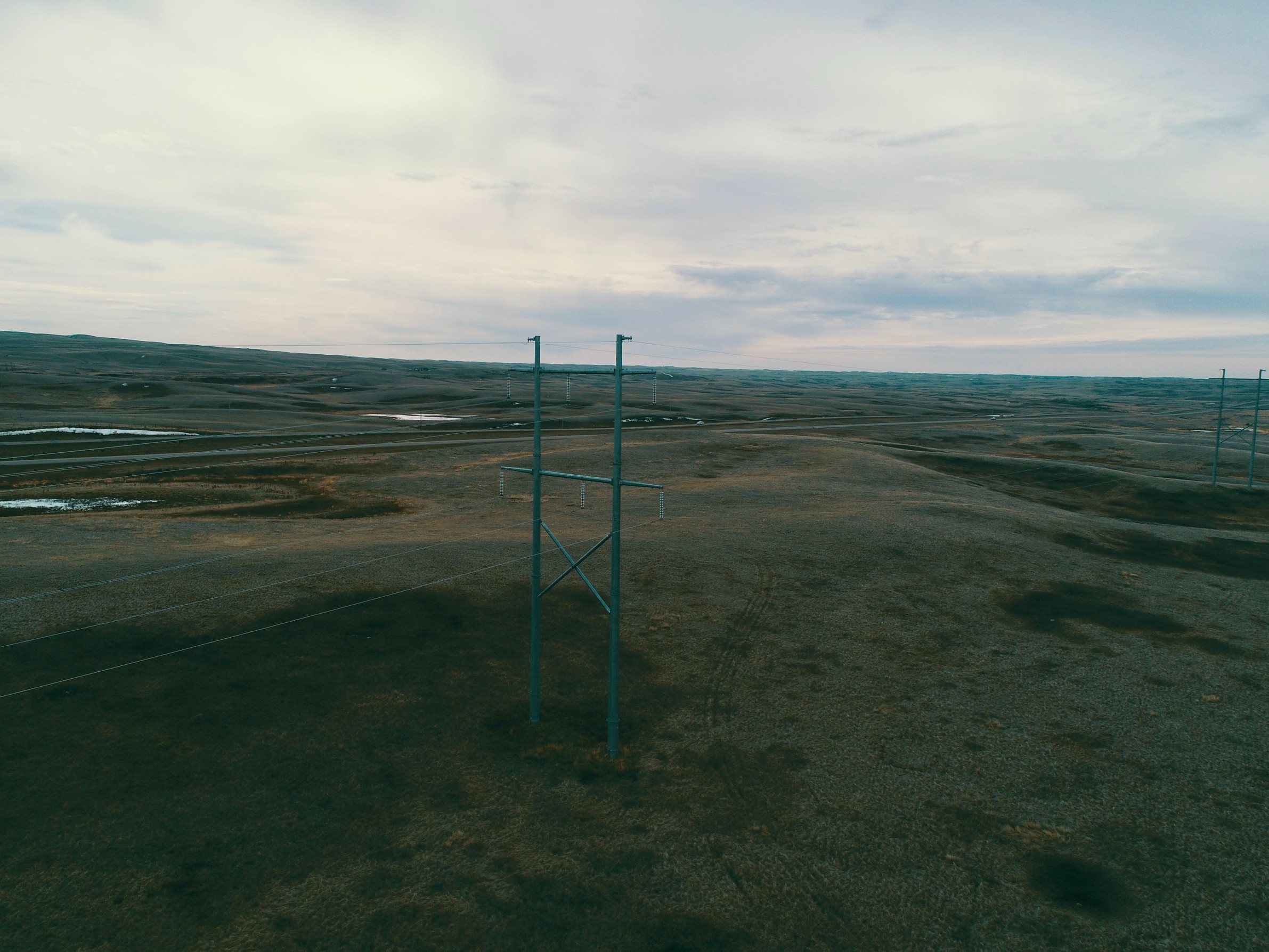
Drone Services
Drone surveys offer a revolutionary approach to geospatial data collection, providing precise and accuracy comparable to conventional surveying, at a lower cost. At Forward Geospatial, we offer both drone and traditional survey methods to meet a wide array of project requirements and budgets. For projects requiring land surveys, we ensure the oversight of an Alberta Land Surveyor (ALS) to meet stringent measurement standards and regulations.
Emissions Monitoring
Whether for industrial oil & gas facilities or underground natural gas pipeline infrastructure, Forward Geospatial has specialized laser-based sensors for detecting & quantifying emissions, such as methane (CH⁴) and carbon dioxide (CO²). These surveys can be done by foot, vehicle, or drone. The sensor application depends on project requirements and site accessibility.
Topographic Site Surveys
We specialize in cutting-edge topographic site surveys utilizing advanced drone technology. Our experienced team leverages state-of-the-art drones equipped with high-resolution cameras and LiDAR sensors to deliver precise, detailed, and reliable topographic data that supports a wide range of geospatial applications.
Our drones capture high-resolution images and LiDAR data, ensuring the highest level of detail and accuracy to capture site topography (elevations).
Drones significantly reduce the time required to complete surveys, providing faster turnaround times without compromising quality. By minimizing the need for extensive ground-based survey crews, drone surveys can be a more economical option for many projects.
Roof Inspections
We offer affordable roof inspections, whether for routine maintenance or after weather events like hail. We also provide thorough evidence of damage for insurance claims, ensuring peace of mind throughout the process.
Aerial Mapping
Our aerial mapping solutions provide comprehensive, high-resolution geospatial data to support various industries and applications.
Other Drone Services
- Wildlife surveys (counting cattle, bear den monitoring)
- Stockpile management (volumes, cut & fill)
- Slope monitoring
- Right of way (R/W) patrol
- Crop health monitoring
- LiDAR & laser scanning
- Photogrammetry
- Remote sensing
- Aerial photography & videography
- Thermal camera inspections
- Powerline inspections
- Ground penetrating radar (GPR) surveys
